House-bound on this rainy day, I decided to reflect on my rides this year. I didn’t end up on my favorite route – up Sierra Rd. and down Calaveras/Felter Rd. (map) – nearly as much as shorter, flatter routes around San Jose, but Sierra fascinates me the most because of its grueling grade and historical significance in the Tour of California.
So far, I have ridden Sierra Rd. 50 times. My PR is 31:58, at an average of 208 Watts and 6.7 mph. The current Strava KOM is held by Menso De Jong at 20:26. During stage 4 of the 2011 Tour of California, Chris Horner mashed up the hill at nearly 14 mph to summit at 16:47. According to MapMyRide, Sierra Rd. (to the summit) is 3.7 miles long and rated a Category 2 climb with some segments reaching a grade of 15%.
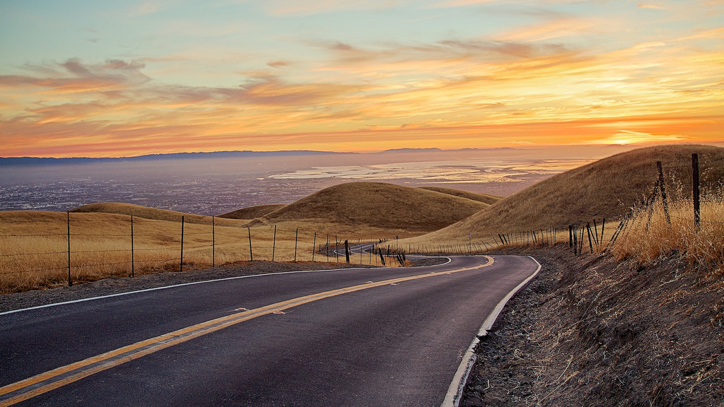
The climb starts at the intersection of Sierra and Piedmont Rd. From there, the road rises at 8% to a church that marks the halfway point of the first visible part of the climb from Piedmont, and then turns sharply left to reveal a vista overlooking the Bay Area (already, the elevation at the 1/2 mile mark is 500 ft).
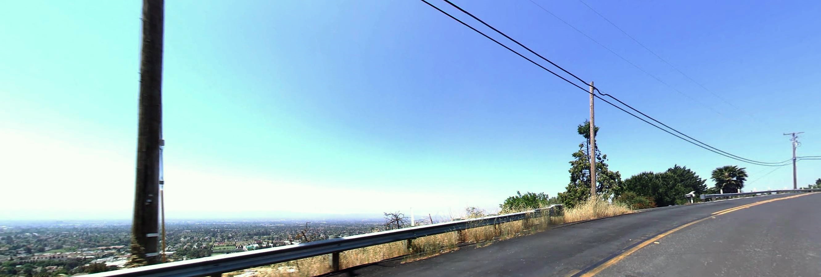
The road continues past some houses, and then the rows of houses dwindle into sporadic sightings every now and then until only farmland remains. One of the reasons I like Sierra road is how it provides plenty of time for self-reflection, away from the hustle-and-bustle in the valley below. It’s also a great way to force a workout when morale is low: even inching along at 5 mph (really, just keeping upright) requires a good chunk of power.
The halfway point of the climb is a hairpin bend cushioned by trees on one side and a small rail overlooking 1,500 ft. on the other. By mile 2, I’ve usually locked myself into a steady cadence of 50-60 rpm. The trees provide a nice, yet very short lapse of shade for the climb, and the section of road just before the bend is fairly mellow.
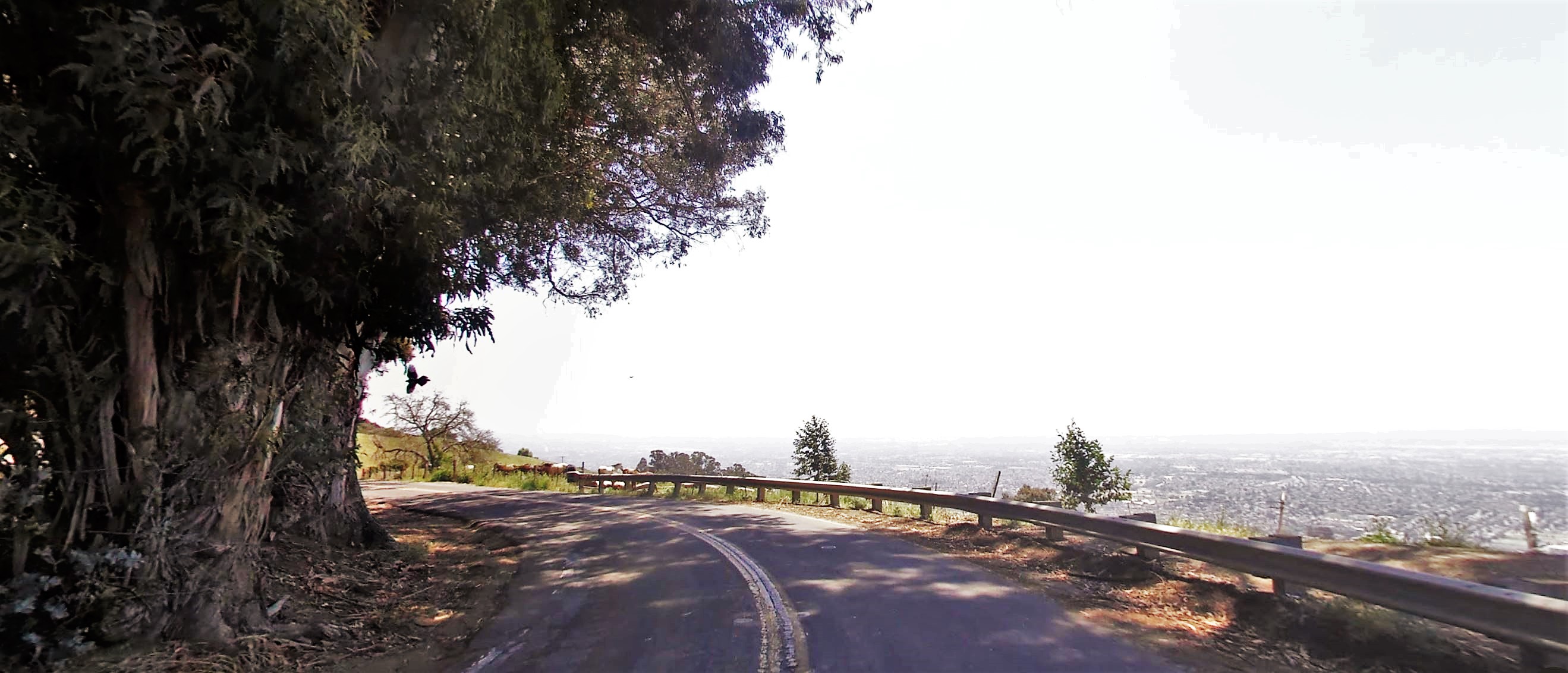
The hairpin marks the beginning of a slow slog to the summit. The air thins and the sun burns harder as you climb out of the haze… it feels a lot like the slow and steady burn to the top of Mt. Hamilton, except with more turns and unpredictable côtes – small, steep grade bursts that eat any motivation you still had left.
Past the hairpin, a row of trees surrounding a water hole for cattle provides a last-chance pit stop for shade before the summit. While the road is generally parched and bumpy, not too many cars drive past the halfway point so you rarely feel confined to the roughest edges of the pavement. By this point, my ability to push on without getting out of the saddle is practically gone. I ride out of the saddle for the last mile, and angle my head closer to the pavement to deceive the grade in my mind.
Finally, the summit comes into view after the 3.7-mile mark at 2,000 ft MSL. It used to be a silent moment with no one else but you and the valley below, but a newly built parking lot provides a nice outlet for drivers to park and take in the panorama without going through all the pain. Still, it’s a serene picture with a beautiful view of Calaveras to the East, Lick Observatory to the South, and the rest of the Bay area North and West.
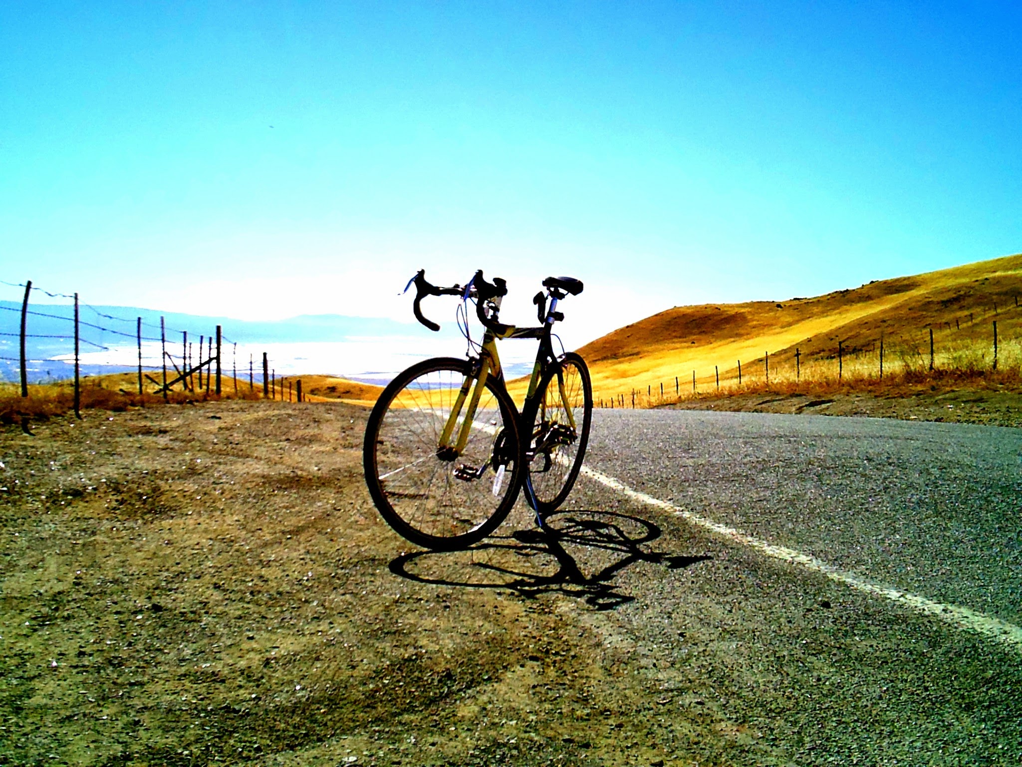
While Sierra Rd. is a sufferfest, it is doable for cyclists of all skill levels. Below is a picture I took of one of my first Sierra Rd. climbs at fifteen years old, back when I had a 30-lb GMC Denali bike from Walmart. If you look closely, you can see a kickstand off the left, classic platform pedals, and a clip-on phone holder for proving my Herculean feat on Strava. Later, I rode Sierra Rd. with a 25-lb. Specialized Allez aluminum alloy frame (that weighed more like steel) and set the PR that I mentioned earlier. I still can’t beat it on my 20-lb. carbon Trek today, which calls for more servings of Sierra next year.